
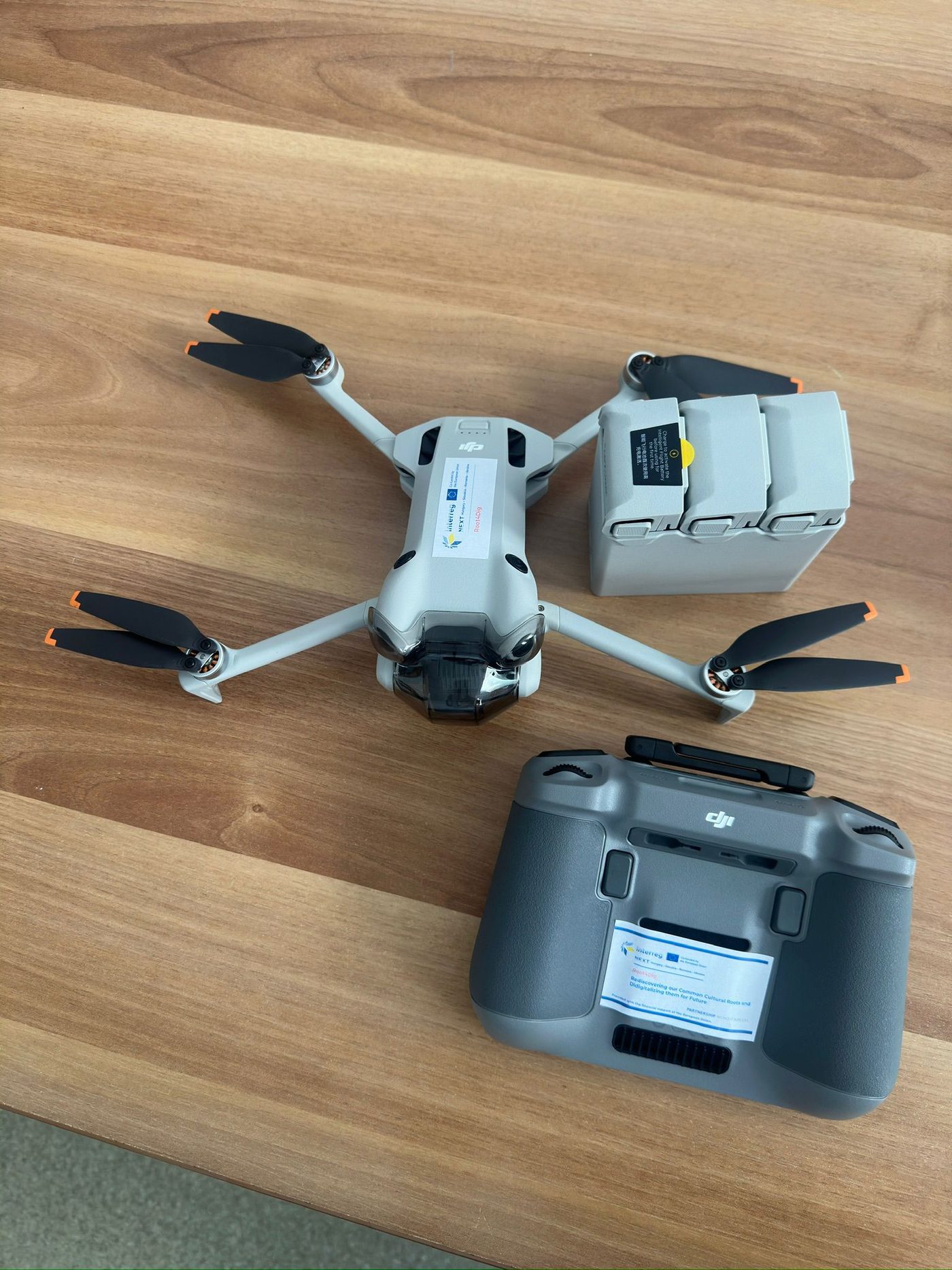
Drone for mapping
Aerial photography and filming for documenting heritage sites, wooden churches and the cultural landscape.
 1 / 3
1 / 3- Location
- Baia Mare, Maramureș - Technical University of Cluj-Napoca, North University Centre
The drone documents what cannot be photographed from the ground: the roofs of wooden churches, the placement of a traditional homestead in the landscape, the extent of a site.
What it is used for
- aerial documentation of heritage sites in Maramureș and the Ukrainian Carpathians
- video material for the electronic album and the online platform
- photogrammetry: 3D models of buildings can be reconstructed from series of aerial photographs
- material for the virtual reality applications developed by students
Who uses it
Students working on heritage documentation, within bachelor thesis projects and the student camps.